The World's Best Aerials
Studio Quality. Indie Prices.
Contact
Blog
Faq
Account
Login / Signup
Videos
Photos
Aerial Stock Footage
Aerial Stock Photos
Playlist
Reels
Faq
Blog
Contact
Account
Login / Signup
North America
>
United States
>
Washington
Filter Results
Locations
Amboy, WA
Ames Lake, WA
Auburn, WA
Bailey Peninsula, WA
Ballard, WA
Beacon Hill, WA
Bellevue, WA
Blue Ridge, WA
Boeing Field, WA
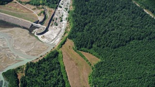
Bonneville Dam
Brier, WA
Burien, WA
Camas, WA
Cape Disappointment, WA
Capitol Hill, WA
Carnation, WA
Carson, WA
Central Seattle, WA
Des Moines, WA
DuPont, WA
East Channel Bridge, WA
Edmonds, WA
Elliott Bay, WA
Fall City, WA
George Washington Memorial Bridge, WA
Gig Harbor, WA
Goldendale, WA
Grapeview, WA
Grays Harbor County, WA
Greater Duwamish, WA
Harbor Island, WA
Ilwaco, WA
Issaquah, WA
Kenmore, WA
Kennydale, WA
Kent, WA
King County, WA
Kirkland, WA
La Center, WA
Lake Merwin, WA
Lake Serene, WA
Lake Washington, WA
Lakeridge, WA
Larsen Lake, WA
Leavenworth, WA
Lewis County, WA
Long Beach, WA
Long Island, WA
Loomis Lake, WA
Lynnwood, WA
Madrona, WA
Magnolia, WA
Mason County, WA
Mercer Island, WA
Microsoft Headquarters, WA
Mount Baker, WA
Mount Rainier, WA
Mount St. Helens, WA
Mt Adams, WA
Nemah, WA
North Fork Toutle River, WA
North Head Light, WA
Oceanside, WA
Olalla, WA
Olympic Mountains, WA
Pacific County, WA
Paine Field, WA
Pierce County, WA
Port of Seattle, WA
Puget Sound, WA
Queen Anne, WA
Rainier Beach, WA
Rainier Valley, WA
Raymond, WA
Redmond, WA
Renton Municipal Airport, WA
Renton, WA
Ridgefield, WA
Salmon Bay, WA
Sammamish, WA
Sanderson Field, WA
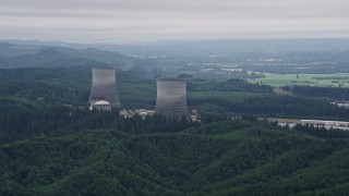
Satsop Nuclear Power Plant, WA
Satsop, WA
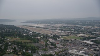
Seattle Tacoma International Airport, WA
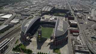
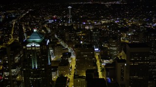
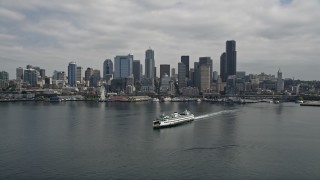
Seattle, WA
Seaview, WA
Shelton, WA
Shoreline, WA
Silver Creek, WA
Skamania County, WA
Smith Cove, WA
Snohomish County, WA
SoDo District, WA
Space Needle, WA
Spirit Lake Highway, WA
Stevenson, WA
Tacoma Narrows Bridge, WA
Tacoma, WA
Thurston County, WA
Tukwila, WA
University District, WA
University of Washington, WA
Vancouver, WA
Vashon Island, WA
Vaughn, WA
Washington
Washougal, WA
West Seattle, WA
Willapa Bay, WA
Woodway, WA
Times of Day
Daytime
Night
Sunset
Twilight
Sunrise
Available Formats
4K PRHQ LOG 10bit
4K PRHQ Rec709 10bit
4K UHD H264 8bit
4K UHD PRHQ 10bit
5.1K RAW 16bit
5.5K RAW 16bit
5.7K PRHQ D-LOG 10bit
HD PRHQ 709 10bit
Cameras
Red Epic MX
Epic Dragon
DJI Zenmuse X7
Cineflex
DJI Mavic 2 Pro
Original Frame Size
5K 5120 x 2700
4K DCI 4096 x 2160
5.5K 5568 x 3132
5.7K 5760 x 3240
HD 1920 x 1080
4KUHD 3840 x 2160
Stabilized System
SpaceCam Systems
Unknown
Cinemoves Shotover F1
DJI Inspire 2
Cineflex
Original Formats
R3D Raw
DNG RAW
Prores HQ 422
H264
Framerates
23.98
29.97
Shot Types
Approach
Ascending
Bird's Eye
Descend
Fly Over
Fly Through
High Altitude
Low Altitude
Orbit
Pan Left
Pan Right
Reveal
Reverse
Side View
Stationary
Tilt Down
Tilt Up
Tracking
Wide Angle
Seasonal Appearance
Spring / Summer
Autumn
Winter w/out Snow
Winter w/ Snow
Property Releases
No Release
On File
Not Required
Weather
Overcast
Partly Cloudy
Clear
Sunny
Cloudy
Hazy
Snowing
Washington Aerial Stock Footage - 1144 Videos - Page 2
1144 results of
Washington
Aerial Stock Video Footage available in 5.1K RAW, HD 1080, 4K UHD, 5.5K RAW, 4K, 4K UHD H264, 4K LOG & 5.7K D-LOG | Page 2 of 20
Display
60
60
120
240
600
Thumbnails
Small
Small
Large
Sort by
Popular
Popular
Date (Newest to Oldest)
Date (Oldest to Newest)
Duration
Filter
1144 results found
«
1
2
3
4
...
20
»
AX48_034E
0:47
AX48_039_DFN
0:23
AX47_079E
0:56
AX51_030
0:26
AX45_125E
0:27
AX56_162
0:13
AX153_168E
0:52
AX47_051
0:10
AX56_102E
0:43
AX47_142
0:21
AX47_015E
0:26
AX46_053
0:21
AX48_071_DFN
0:34
AX45_063
0:19
AX45_091E
0:27
AX57_012E
0:40
AX58_012
0:14
AX51_051E
0:48
AX46_037
0:08
AX48_055_DFN
0:25
AX52_031E
0:39
AX45_056E
0:39
AX46_052
0:05
AX45_040E
0:41
AX52_025
0:24
AX58_058E
0:29
AX58_080E
0:41
AX48_039E
0:48
AX50_070
0:41
AX48_027_DFN
0:14
AX56_160
0:12
AX154_024E
0:19
AX153_173E
0:44
AX154_207E
0:21
AX52_042E
0:37
AX51_098
0:20
AX48_073E
1:00
AX52_077E
0:35
AX50_023
0:44
AX47_088E
0:28
AX58_044
0:06
AX52_052
0:35
AX49_001E
0:31
AX45_079
0:08
AX58_020E
0:44
AX153_157
0:15
AX47_073
0:34
AX49_097
0:20
AX50_013E
0:36
AX49_078E
0:36
AX48_048
0:25
AX56_157
0:10
AX52_066
0:13
AX153_143E
0:40
AX154_204
0:10
AX57_007E
0:52
AX52_005
0:16
AX49_067E
0:39
AX58_082E
0:44
DX0001_019_022
0:27
1144 results found
«
1
2
3
4
...
20
»
New
Save
Share
View
Add All
Clear All
Untitled Playlist
(0)
PLAYLIST
Please Sign-in
close
Login
Sign Up
Available
close
Save Playlist
close
Save
Save New