5K aerial stock footage of flying by Temblor Range desert mountains, San Luis Obispo County, California Aerial Stock Footage AXSF17_055
DESCRIPTION
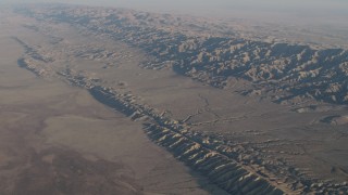
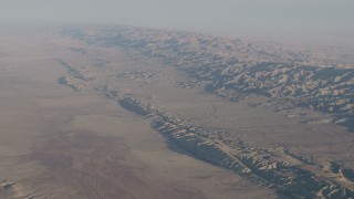
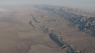
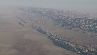
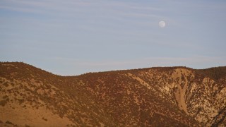
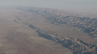
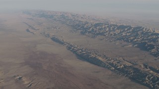
5K aerial stock footage video of flying by the Temblor Range desert mountains, with the moon above; San Luis Obispo County, California
available in 4K UHD H264, 4K, 4K LOG, 5.1K RAW
SHOT INFORMATION
- Shot ID#AXSF17_055
- Date01/07/2012
- Framerate23.98fps
- CameraRed Epic MX
- Original FormatR3D Raw
- Original Size5K 5120 x 2700
- Length0:14
- Library NameDFKSF01-17
- Time of DayDaytime
- WeatherSunny
- Seasonal AppearanceSpring / Summer
- Equipment SpaceCam Systems
- Property ReleaseNo Release
CATEGORIES
KEYWORDS
aerial stock footage
aerial videos
aerials
arid
CA
California
California Coast
California Coastal Areas
California Coastline
Central California
Day
day time
daytime
desert
landscape
moon
mountain landscape
mountain ridge
mountains
natural
nature
R3D
Red Epic
Red Raw
ridges
San Luis Obispo County
side view
Temblor Range
West Coast
wilderness
DISCLAIMER
Axiom Images provides stock imagery. Unless otherwise specified by Axiom Images in writing, Axiom Images has no association with, no approval from, no sponsorship by owner(s) of the subject matter of the stock images found on its website.