The World's Best Aerials
Studio Quality. Indie Prices.
Contact
Blog
Faq
Account
Login / Signup
Videos
Photos
Aerial Stock Footage
Aerial Stock Photos
Playlist
Reels
Faq
Blog
Contact
Account
Login / Signup
Filter Results
Cascade Volcanic Arc Stock Footage and Stock Videos - 202 Results | Page 2
202 results of
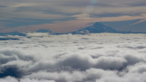
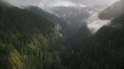
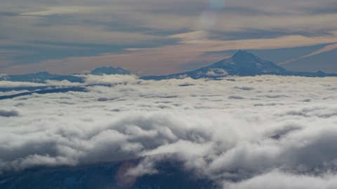
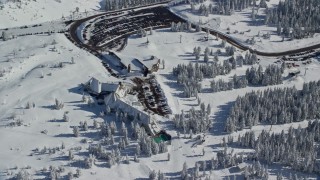
Cascade Volcanic Arc
Stock Footage and Videos in 1080, UHD, 4K & 5K
Display
60
60
120
240
600
Thumbnails
Small
Small
Large
Sort by
Popular
Popular
Date (Newest to Oldest)
Date (Oldest to Newest)
Duration
Filter
202 results found
«
1
2
3
4
»
AX154_127.0000170F
AX154_059.0000074F
AX154_069.0000000F
AX154_079.0000219F
AX48_059_DFN
0:26
AX154_085.0000000F
AX154_072.0000320F
AX154_102.0000220F
AX155_007.0000000F
AX154_074.0000339F
AX154_100.0000000F
AX154_062.0000242F
AX154_065
0:05
AX154_073.0000356F
AX52_031E
0:39
AX154_068.0000206F
AX48_065_DFN
0:19
AX154_061.0000171F
AX154_060.0000093F
AX154_112.0000331F
AX155_136E
0:23
AX52_042E
0:37
AX48_063_DFN
0:16
AX154_080.0000273F
AX48_087_DFN
0:19
AX154_111E
0:59
AX48_061
0:16
AX154_098E
0:33
AX48_060
0:04
AX154_045.0000229F
AX154_062.0000000F
AX48_061_DFN
0:16
AX48_083_DFN
0:23
AX154_098.0000218F
AX154_047.0000164F
AX154_099.0000300F
AX154_093E
0:33
AX154_046.0000331F
AX154_133.0000356F
AX154_057.0000216F
AX154_041.0000321F
AX154_058.0000000F
AX154_047.0000000F
AX154_041.0000122F
AX154_129.0000284F
AX154_095
0:05
AX154_131.0000000F
AX48_067
0:12
AX154_073E
0:22
AX154_066.0000182F
AX52_047
0:26
AX154_108E
0:20
AX154_044E
0:23
AX154_075E
0:45
AX154_084E
0:39
AX154_131.0000213F
AX154_060.0000000F
WA004_074
0:17
AX154_061.0000000F
AX52_062E
0:45
202 results found
«
1
2
3
4
»
New
Save
Share
View
Add All
Clear All
Untitled Playlist
(0)
PLAYLIST
Please Sign-in
close
Login
Sign Up
Available
close
Save Playlist
close
Save
Save New