The World's Best Aerials
Studio Quality. Indie Prices.
Contact
Blog
Faq
Account
Login / Signup
Videos
Photos
Aerial Stock Footage
Aerial Stock Photos
Playlist
Reels
Faq
Blog
Contact
Account
Login / Signup
Nature
>
Desert
>
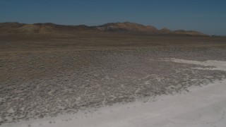
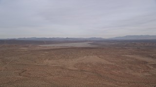
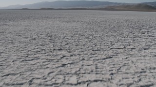
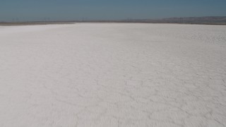
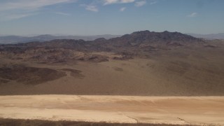
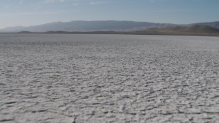
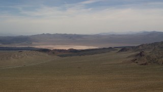
Dry Lakes
Filter Results
Media
Aerial Stock Footage
Aerial Stock Photos
Locations
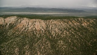
Bryce Canyon National Park, UT
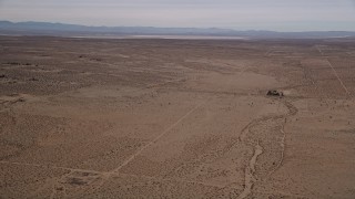
Edwards Air Force Base, CA
El Mirage Lake, CA
Mojave Desert, CA
San Bernardino County, CA
Soda Lake, CA
Times of Day
Daytime
Available Formats
4K PRHQ LOG 10bit
4K PRHQ Rec709 10bit
4K UHD 2160 RAW
4K UHD H264 8bit
4K UHD PRHQ 10bit
5.1K RAW 16bit
5.5K RAW 16bit
HD PRHQ 709 10bit
Cameras
Epic Dragon
Red Epic MX
Sony F-55
Original Frame Size
4KUHD 3840 x 2160
5K 5120 x 2700
4K DCI 4096 x 2160
5.5K 5568 x 3132
Stabilized System
Shotover F1
SpaceCam Systems
Unknown
Cinemoves Shotover F1
Original Formats
R3D Raw
Sony RAW
Framerates
23.98
Shot Types
Approach
Bird's Eye
Descend
Fly Over
Low Altitude
Pan Left
Pan Right
Reveal
Side View
Tilt Up
Wide Angle
Seasonal Appearance
Spring / Summer
Property Releases
No Release
Weather
Sunny
Cloudy
Overcast
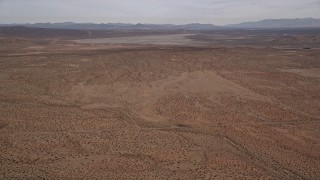
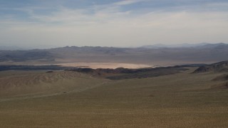
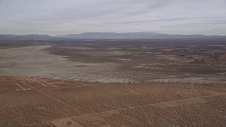
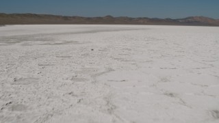
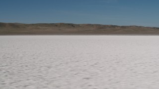
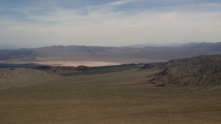
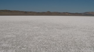
Dry Lakes Aerial Stock Footage and Photos - 40 Results
40 results of
Dry Lakes
Aerial Stock Video Footage and Photos available in 5.1K RAW, HD 1080, 4K UHD RAW, 4K UHD, 5.5K RAW, 4K, 4K UHD H264 & 4K LOG | Page 1 of 1
Display
60
60
120
240
600
Thumbnails
Small
Small
Large
Sort by
Popular
Popular
Date (Newest to Oldest)
Date (Oldest to Newest)
Duration
Filter
40 results found
FG0001_000059
0:15
FG0001_000067
0:15
AX0006_108
0:12
FG0001_000060
0:15
AX0006_131E
0:44
AX0006_138
0:29
AX0006_136E
0:41
AX70_222
0:15
AX130_422E
0:18
AX0006_134E
0:38
AX70_218
0:15
AX0006_109
0:08
AX70_223
0:15
AX130_420E
0:17
AX0006_122
0:18
AX0006_121
0:29
AX0006_123
0:13
FG0001_000095
0:15
AX70_207
0:14
AX0006_130
0:18
AX70_221
0:10
AX70_219
0:15
AX70_206
0:18
FG0001_000061
0:15
AX70_210
0:15
AX70_215
0:15
AX70_216
0:15
AX70_214
0:15
FG0001_000063
0:15
AX70_217
0:15
AX70_209
0:17
AX70_213
0:10
FG0001_000097
0:11
AX70_211
0:19
AX70_212
0:15
AX70_220
0:15
AX70_208
0:16
FG0001_000064
0:15
FG0001_000062
0:15
FG0001_000096
0:12
40 results found
New
Save
Share
View
Add All
Clear All
Untitled Playlist
(0)
PLAYLIST
Please Sign-in
close
Login
Sign Up
Available
close
Save Playlist
close
Save
Save New